As someone with a love of maps and having had a good number of glances over those covering my local area over many years, the Crewe & Nantwich Circular Walk has been in my mind as something to do for quite a while. After completing much of the locally better known Sandstone Trail over the past couple of years, for a bit of quality time with my Dad, and using a guide for other routes in Cheshire, we were looking another set of walks. So finally, we got around to doing our most local of signed routes.
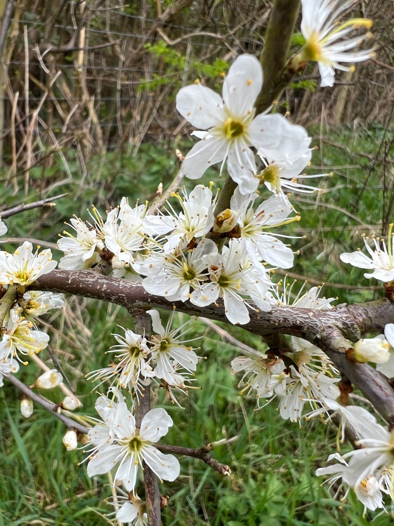
Knowing the countryside in the area so well, after cycling around most of it over many years, it was a walk of the familiar in many ways. Yes, it can’t be said that the countryside around Crewe and Nantwich is spectacular in a Peak District kind of way, like the eastern extent of Cheshire, but it does have its own little charms. Whilst most of the walk is within the Cheshire Plain, it can hardly be described as billiard-table flat; it wouldn’t be right to compare it to the Fens of Lincolnshire, Norfolk and Cambridgeshire. The landscape is one of very shallow rolling open countryside, quiet pastureland, hedges and narrow lanes. The walk takes the wanderer through pleasant rural scenes with the occasional village or hamlet, and has its fair share of points of interest.
Well, where do I start? Describing a walk that is. Normally at the beginning would be the answer but this 29 mile circular walk has no obvious start or finish and no guide, that I can find, that suggests one. So, I’m going to say Hough, just to the south of Crewe. The route passes Hough Common, which happens to have a car park, perfect for being dropped off or leaving your at.
We broke the walk into three clockwise sections of very uneven length and did one each in November, December and January. Okay, these maybe aren’t known as the nicest months for a walk but we had good weather in the most part and wrapping up and walking at a reasonable pace keeps the cold away. With the lack of daylight in these months, this walk also leant itself to being split into smaller sections that can be done comfortably in good light.
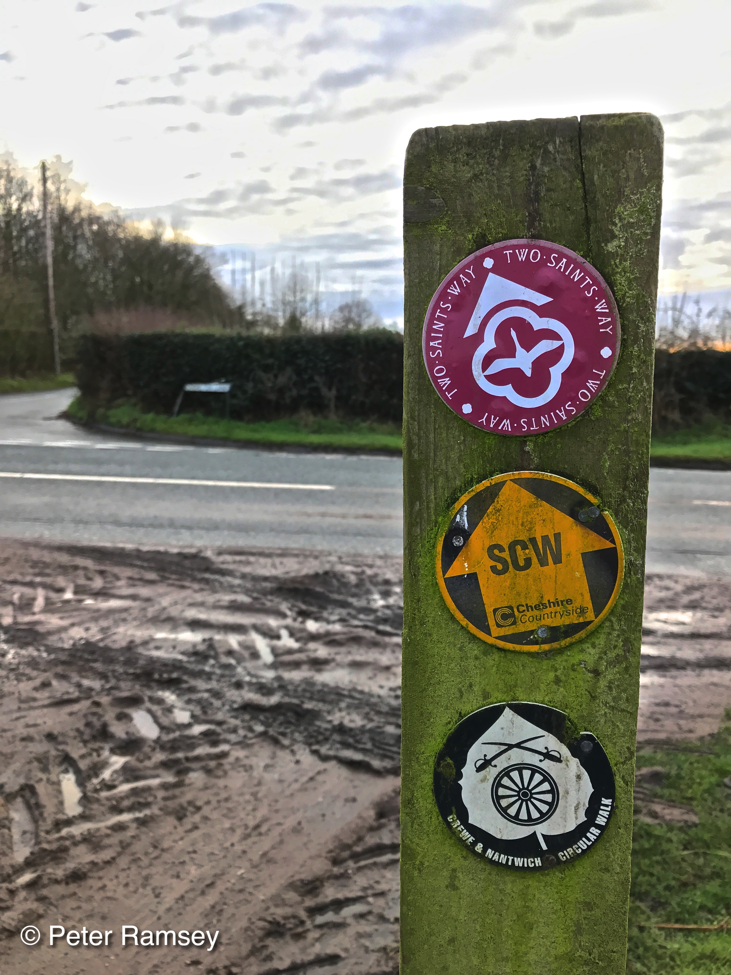
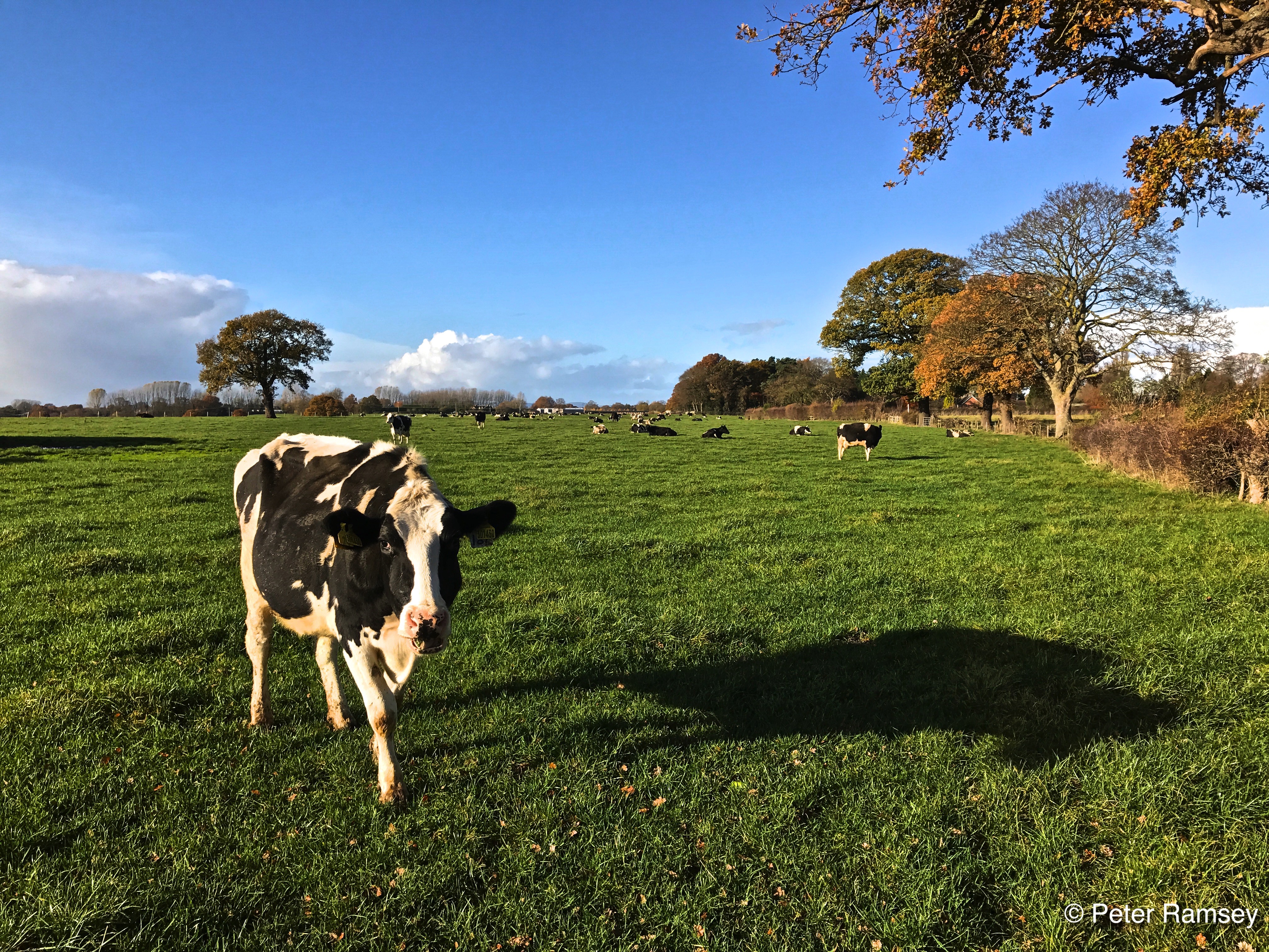
Setting off from Hough, on a chilly but bright, sunny late autumn morning, we crossed what was to be the most familiar of landscapes – large, hedge-bound, cattle fields and we came across our first cows. The big monochrome milkers took little notice of us as we wandered through the lush, green fields and headed towards Wybunbury. This part of the route is common with a section of the Two Saints Way, a much longer route of 92 miles between Chester and Lichfield. On our route, we kept a look out for snakes, as the sign in the large garden of Hough Hall warned us to, but we managed to remain unstrangled by anacondas and unnibbled by rattlesnakes.
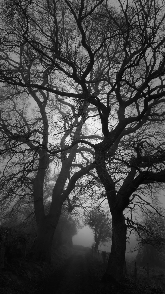
My map reading skills aren’t what they used to be, or maybe its my powers of concentration, but as we headed down into the valley below Wybunbury, there was an unplanned diversion via the Church. It’s a nice diversion though, with the Church tower standing alone in its yard at the west of the little village. Back down into the valley, the route passes Wybunbury Moss (of frequent mention on these pages). The bog (three metres of peat floating on top of many more metres of lake), is best avoided but there is a diversion through a permissive path, which presents an additional bit of interest to the walk. Along part of the path, as it joins a vehicle track, the Moss can be seen within the round depression that holds it; the open peatland, with its standing dead trees, has something of the northern wilderness about it.
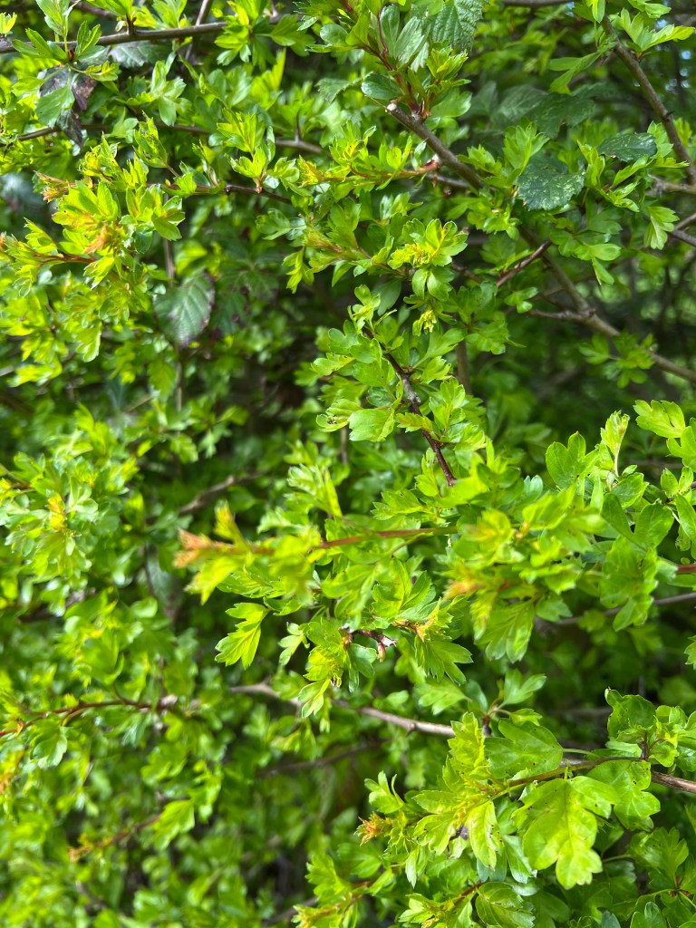
Heading out of the Wybunbury area, we were back into proper Cheshire pastureland, with wide, open green fields and occasional old oak trees. There’s something missing from most of he Cheshire countryside, woodland, and the route is fairly typical with only the odd little copse amongst the fields. However, after wandering along a few quiet country lanes and crossing the busier, but still relatively quiet roads to Woore and Audlem, the walk passes close to the local Millennium Wood, which is trying redress some of the balance. Shortly afterwards, we crossed the River Weaver for the first time, very much a large brook at this point in its evolution towards a much larger navigable river. On the other side of the water was another type of field which is increasingly typical of the area too; that of muddy bare earth punctuated with the uniform lines of harvested maize stubble. Whilst these fields are usually simple to cross, where the path is clear from months of passing walkers, the next field was less easy. The mud of the recently ploughed field stuck to our boots, adding extra pounds to our weight and making progress a little slower.
Eventually, we came back out onto another quiet country lane, crossed the road to Whitchurch and passed Nantwich Lake. This was where the Two Saints Way left us and headed into Nantwich. This is the closest point of the walk takes to the town centres of either Crewe or Nantwich, which provides a opportunity for the most significant diversion from the route – plenty of pubs, cafes and coffee shops for additional sustenance. However, we headed onwards and up, out of the shallow valley in which the town sits, we crossed the first railway line; which you will see is a common theme of the walk, as you would expect of a route around Crewe, of course. This was the one and only time when we crossed the line at grade rather than passing under or over a bridge; we took particular care. We also came across the first stretch of canal of the journey but for the moment we just crossed it and headed back out into the countryside.
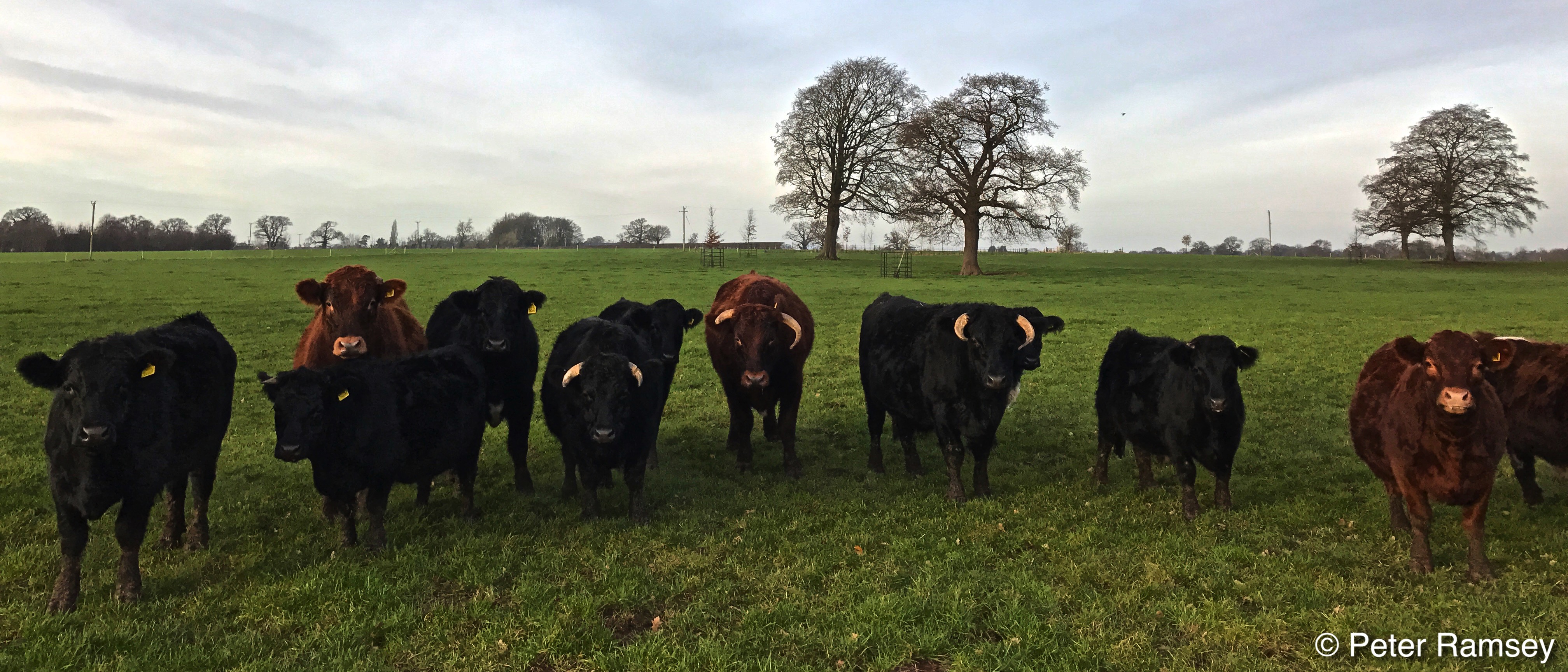
There was a short section of on-road walking and then we turned off and traversed the route through parkland belonging to Dorfold Hall. Much of this land is used for the Nantwich Show each July (including the biggest cheese show in Europe!) but in November, its eerily quiet, despite being so close to the town. On leaving the park setting, we joined the road at Acton, the nice little village, with a fine small church, just to the west of Nantwich. Unfortunately another good watering hole, The Star, has now closed and it’s a while until there are other opportunities for liquid diversions. Out of the village, we wandered downhill and crossed the canal again and headed towards Reaseheath. Before we got there, we had to cross the A51, a busy road, and care needs to be taken, as does the following country lane section. Reaseheath College has small zoo which is open on various days through the year and there are also lambing events that could be called into when passing. However, we went straight past and down the lane towards Poole Hall, a grand old house and more parkland. As we passed the Hall we came across a herd of quite frisky bovines of the beef variety which we had to give a wide berth. They seemed more interested in a couple walking dogs but eventually turned their attention to us but without pressing home their interest too much.
A little while onwards we crossed the second railway line, at the interestingly named Aston Juxta Mondrum and further on our route turned from pasture to towpath as we started the long section alongside the Middlewich Branch of the Shropshire Union Canal. This was easy walking with a few interesting spots including the River Weaver passing beneath a surprisingly tall and steep sided aqueduct (surprising that such a tall embankment is needed across what is supposed to be the Cheshire Plain), a marina and a lovely view over the valley close to Church Minshull (which is home to the well-regarded Badger pub if you fancy a liquid divertion off the route).
On leaving the canal behind, the pastureland path returns and there’s a short section on the busy Middlewich Road to be negotiated before passing through a farmyard and back out into the fields. Shortly afterwards it’s worth having a quick look at the moat in a field next to the path close to Minshull Vernon. It’s not possible to leave the path here but the Medieval site can be seen quite well from various spots.
After a few more fields and a country lane and track, we crossed a railway again, this time the West Coast Main Line and, thankfully via a footbridge. On the eastern side of the line, north of Coppenhall, the fields take on the form of west grassland and are almost marsh, with drainage ditches, and plenty of willows and sedge. I never knew this area existed and I wondered whether it would make a good wildlife reserve if the land could be brought together to do so. In fact one of the local landowners had already put up a sign noting that the local wildlife is protected (although I’m not sure just how many snakes and vultures there are in the area!).
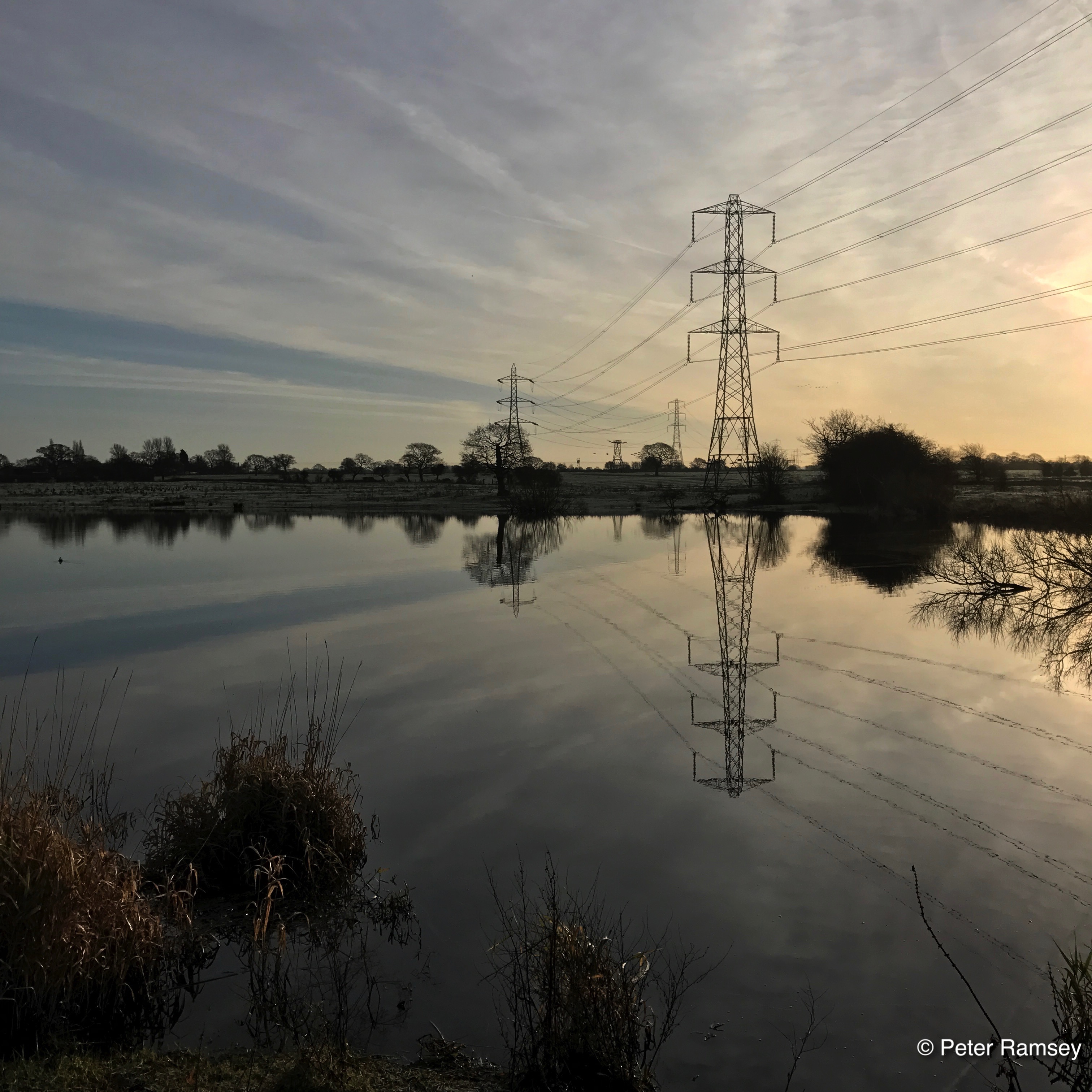
After leaving the north of Crewe, we eventually came to an area of lakes, known as the Sandbach Flashes. This is a great area for wildlife and a well known spot for the ornothologically enthused. The Elton Flashes Nature Reserve can be viewed from a permissive path just a short walk up Clay Lane from the route of the Walk.
Pressing on, the route passes beneath the Crewe to Manchester railway line and then into some very wet fields (or at least they were when we walked through them). It had snowed a few days earlier and there were the last remnants of the skittering lying in sheltered spots but it was the flooding around the stiles that caused a few issues and we made some diversions. However, the fields provided good hiding places for snipe, a few of which flew off as we passed, and there were large groups of gulls gathering in several pastures that lifted on our approach. These fields also seem to be home to sheep rather than the usual cows which is a little less usual for this part of Cheshire.
More care needs to be taken crossing the Haslington Bypass and we took our time, but once across the road, we headed into Winterley which has another nice small lake which can have some interesting waterfowl – tufted ducks on the day we passed through. It was just after the village that the Walk joined the South Cheshire Way and they continued as one for some time.
After a few more cattle and maize stubble fields, we came across Halslington Hall, a very fine black and white timber-framed house, although the views were difficult and somewhat spoiled by the poor state of the grounds. We then came to Crewe Golf Course straight through which the signed path passes including over the driving range, fairways and greens. We took care not to disturb any games or kick any balls into the rough and the golfists seemed largely oblivious to our presence. On leaving the grounds, the footpath drops down into and crosses the Valley Brook; what could be described as Crewe’s main ‘river’ but it’s hardly the Thames. Shortly afterwards, we needed to negotiate the Crewe to Alsager road, again, care is needed, and then we headed up a country lane and then alongside, and eventually under the penultimate railway line.
This slideshow requires JavaScript.
Soon we crossed over the link road into Crewe at tarmac level and as we walked up the following rise a buzzard was being mobbed by a crow and slowly glided past on the increasingly strong and cold breeze. We then crossed over the Shavington Bypass dual-carriageway but via a nice bridge. Just afterwards we entered Weston, which has a good pub, the White Lion, and the route was joined by the Two Saints Way. We were then on the last leg of the walk, with the final few cow pastures and fields of maize stubble, with only one more railway, the southbound West Coast Main Line, to cross (bridged again). It was only on return to Hough Common that the South Cheshire Way and Crewe & Nantwich Circular Walk went their separate ways, but perhaps this would be a good spot from which to start exploring the former too.
Overall, this is a perfect walk for the winter months, particularly if split into two or three sections. The walking is easy and there’s enough to keep up interest despite the land being relatively flat. It can be muddy and wet in places so frosty days could be ideal and a little care needs to be taken on some of the busier roads.
Splitting the walk made sense for the winter months but I now want to return to do it all in one day. I think is do-able given the easy going of most of the route and hopefully drier, less muddy conditions of spring or summer – maybe on my list of things to do in April once the clocks have gone forward.